Otish Mountains - Summer 1949 |
For this seventh exploration of arctic and subarctic Québec, Jacques Rousseau chooses the Otish Mountains, at their central point where the most modern geographical map of the time puts these small mountains. With few exceptions, no explorer had yet really been in this region whose existence was revealed to cartographers by aircraft traveling in Greenland during the Second War. These mountains are not a chain, but a mass of about 1,200 m high, spanning approximately
20 km by 50 km. At 160-250 km north-east of Lake Mistassini and located approximately at the geographic center of Quebec, the Otish Mountains belong to the Canadian Shield.
For this expedition, Jacques Rousseau is accompanied by René Pomerleau (1904-1993), a mycologist and professor at the University of Montreal, his son François and a native guide Montagnais, Antoine Grégoire. Climb Thinking he is climbing the highest peak of the Otish, Rousseau suffer a cardiac arrest, forcing him and his guide to sleep under the stars. Rousseau later uses the name Watshish as used by Aboriginal people, in a 1959 article in the Cahiers de géographie periodical.
|
Photographs are presented following their original order.
Click on the picture to access the image and its description. | 1 - 16 on a total of 115 images for this album |
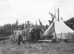 | | Montagnais de Falardeau ( 22 milles ? l'est de Ste Anne de Chicoutimi), cousins d'Antoine Gr?goire. |
| 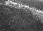 | | Entre lac ? la Croix et lac Onistagan, rivi?re P?ribonka |
| 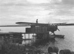 | | On fait le plein d'essence au lac Onistagan. |
| 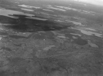 | | Taiga entre lac Onistagan et le massif des monts Otish. |
| 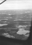 | | Taiga et parcelles de toundra et solifluction, entre Onistagan et Monts Otish. |
| 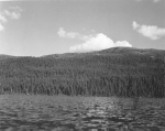 | | Flanc du pic des Monts Otish ? la base duquel se trouvait notre campement. Au-dessus de la for?t, toundra alpine. |
| 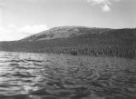 | | Flanc du pic des Monts Otish ? la base duquel se trouvait notre campement. Au-dessus de la for?t, toundra alpine. |
| 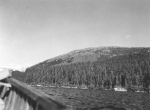 | | Flanc du pic des Monts Otish ? la base duquel se trouvait notre campement. Au-dessus de la for?t, toundra alpine. |
| 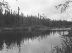 | | Monts Otish, d?charge du lac du campement. |
| 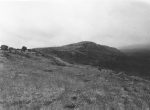 | | Monts Otish, sommet du pic du campement. |
| 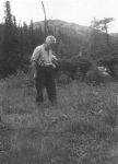 | | Monts Otish, pic du campement, Jacques Rousseau dans une formation subalpine. |
| 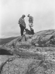 | | Monts Otish, Jacques et Fran?ois Rousseau au sommet du pic du campement. |
| 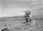 | | Monts Otish, Jacques et Fran?ois Rousseau au sommet du pic du campement. |
| 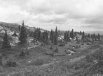 | | Monts Otish, ruisseau et vallon ? la ligne des arbres sur le pic du campement. |
| 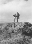 | | Monts Otish, Fran?ois Rousseau et Ren? Pomerleau au sommet du pic du campement. |
| 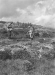 | | Monts Otish, Ostiole tourbeuse dans une d?pression de la zone alpine, pic du campement, Jacques et Fran?ois Rousseau. |
| |
|