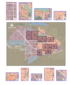
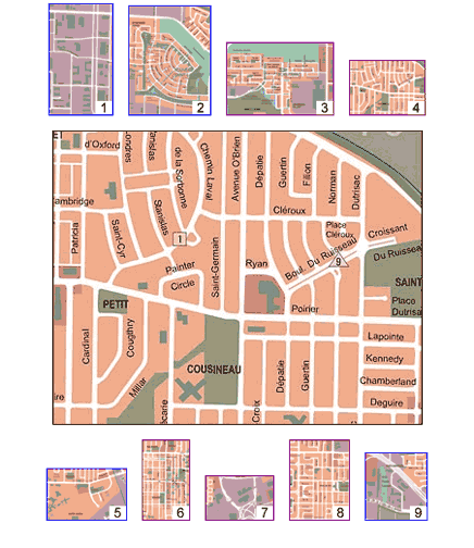
MapIndexFrançais

How to use interactive maps


How to use the interactive maps

Step 1
Select the district

Click on one of the nine enlargements. Their geographic coverage is indicated on the index card at the centre.


Step 2
Select the site

The district map you select will appear at the centre.

The sites are identified by numbered circles, triangles or squares. Slide your cursor over these numbers and information bubbles will appear showing photo titles. Click on a title to view a photo.

You can view the map of a different district at any time by clicking on one of the small numbered maps.


Step 3
Photo description

When you select a site, a new window will open.
 
Each photo is accompanied by a brief description.


© 2001-2013 All rights reserved, Ville de Montréal
777 boulevard Marcel-Laurin, Saint-Laurent (Québec) H4M 2M7
Tel. : (514) 855-6000 Fax : (514) 855-5709