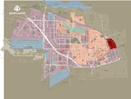
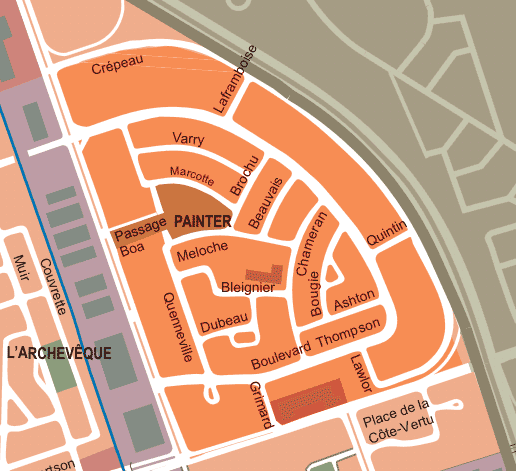
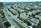
The Chameran and Montpellier residential district bordered by Jules-Poitras boulevard and the Laurentides Autoroute, was the only one to be developed without any existing residential core. It was developed at a phenomenal speed. 62% of the buildings in this district were erected between 1960 and 1964, and 92% of construction in the Chameran area was completed by 1969.
The Montpellier area began to develop after 1975, and by 1982 accounted for only 4.5% of the sector's buildings. It should be noted that its location along Montpellier boulevard is the site of the very first factory built in Saint-Laurent, the stone industry. Large condominium complexes have since been built at the site of the old quarry.