|
|
|
 |
|
 |
MapIndexProfileSearchFrançais |
 |
|
|
|
|
|
|
|
|
|
|
|
|
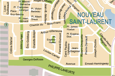
Nouveau Saint-Laurent
The Commission d'orientation, created by Saint-Laurent Municipal Council, unveiled a vast residential construction project in March 1988 called Nouveau Saint-Laurent. Making room for more than 18,000 new residents, this project offered a unique environment including parks, wooded areas, four small lakes and a pond, all connected by waterways.
Adjacent to the Bois-Franc residential development, the Nouveau Saint-Laurent is bordered by Henri-Bourassa boulevard, the extension of Cavendish boulevard to where it meets Toupin boulevard, Poirier boulevard and Guénette street.
Likely to bring in more than one billion dollars in investments, its layout is unique due to the fact that this district, a virtual city in itself, boasts two somewhat exclusive entrances and exits that help ensure its strictly residential cachet. |
Nouveau
Saint-Laurent
|
|
|
|
|
|
|
|
|
|
© 2001-2013 All rights reserved, Ville de Montréal
777 boulevard Marcel-Laurin, Saint-Laurent (Québec) H4M 2M7
Tel. : (514) 855-6000 Fax : (514) 855-5709
|
|
 |
|
 |
|
|
|